Two roads diverged in a wood, and I—
I took the one less traveled by,
And that has made all the difference.
Robert Frost
In a world defined by high-speed service, super- sized capacity, and do-more philosophies, there exists a journey of roads, trails and waterways less traveled, history awaiting rediscovery, and adventures around every twist and turn.
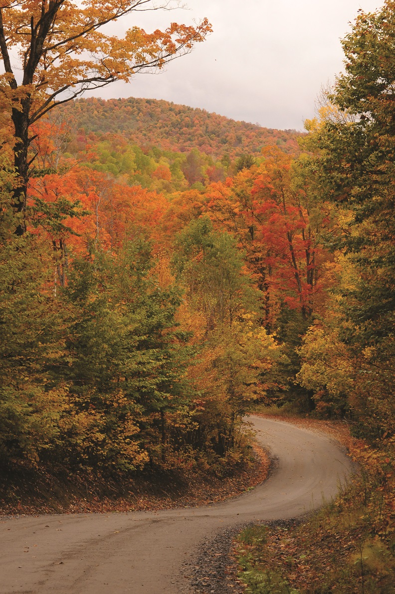
Carved between the White Mountains of New Hampshire and the Green Mountains of Vermont is the Connecticut River Byway, over 500 miles of scenic roads from the Massachusetts stateline to the Canadian border. Take a day, take a week or more to meander the entire Byway or one of the 12 mapped itineraries in our Byway Guide. View the Interactive Map now and explore the Byway, virtually.
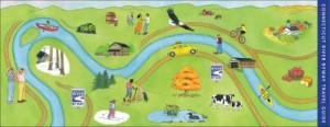
Itineraries – Auto – Bike – Boat
- Brattleboro Region
- Bellows Falls Region
- Windsor / Claremont Region
- White River Junction-Lebanon Region
- Haverhill-Wells River Region
- St. Johnsbury Region
- Lancaster Region
- Colebrook Region
- Bicycle Southern Itinerary
- Bicycle Central Itinerary
- Bicycle Northern Itinerary
- Paddling Itinerary
Launch your canoe or kayak and experience the Connecticut River as only a paddler can view, with eagles nesting overhead, farm animals grazing at the water’s edge, and natural history all around.
If two wheels and your own horsepower are the way you prefer to roll, grab your bike and enjoy the mapped journeys, which are rated by intensity.
Despite your mode of transportation, each itinerary features unique historical facts or sites found specific to the area you are visiting, with a total of 100 historical notations within the entire Guide. Trains, covered bridges, meeting houses, historic districts, living museums, and even a few bizarre moments in time are just some of the many worthwhile stops along your journey. Sites may be a simple historical marker, noting the significance of an event or location, while others may include buildings and grounds to tour and photograph.
We challenge you to step off the fast track and experience the quiet, unique and rich environment of the Connecticut River Byway and the people who live along its path.
Choose to Disconnect!
When Robert Frost came upon two diverging roads, he didn’t have a Global Positioning System (GPS) telling him which way to travel, nor did it annoyingly announce “recalculating” when he took the path less traveled. While most of the roads along the Byway are GPS and cell phone accessible, there are remote areas and towns surrounded by mountains where cellular or satellite services are minimal or nonexistent. We encourage you to enjoy the time disconnected and maybe even purposefully turn off the electronics.
“Ya can’t get there from here.”
Not true. You can get to anywhere from here; it just might take you extra miles and more gas than you planned. Keep in mind that gas stations are typically in most towns; however, you may travel 10, 20 or even 30 miles between those towns, so keep an eye on your gas gauge.
New England’s Fifth Season
Mother Nature often dictates unexpected and rapid changes in New England’s weather. Spring arrives when the snow melts and the ice thaws, which could be at any time between March and May. As the snow disappears, the temporary fifth season in New England takes hold … Mud Season! Joining mud season are frost heaves, potholes and washboard vibrations, which may interrupt your journey, especially along the dirt and secondary roads. If traveling by bicycle, car or motorcycle, beware of the unexpected road conditions, and when the sign says “Road Closed,” remember it is for a reason.
Sharing the Road
One of the many unique aspects of driving in New England is the unexpected moments of sharing the roadway with creatures of all kinds. Turtles, beavers, raccoons, woodchucks, turkey, moose, deer, rabbits, and even the occasional fox and bear can be seen at all hours of the day and night. And, remember that areas with posted animal crossing signs are not the only places where they travel!